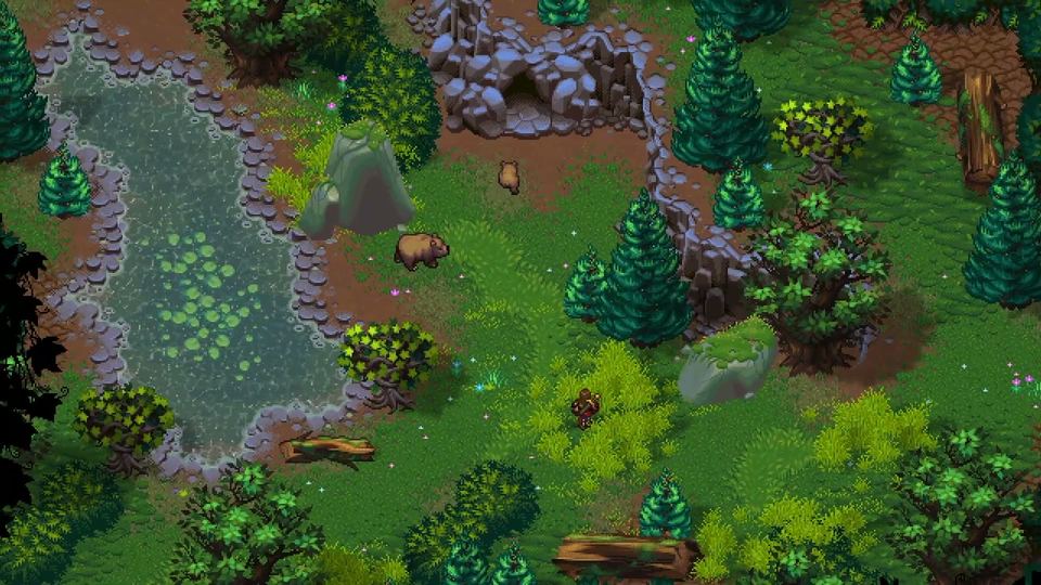
World map and regions
The map is handcrafted and described by its parts: oceans, continents, regions, castles, towns, mountains, caves and dungeons, with the Mancian Wastelands the one named region. No official labelled world map has been published.
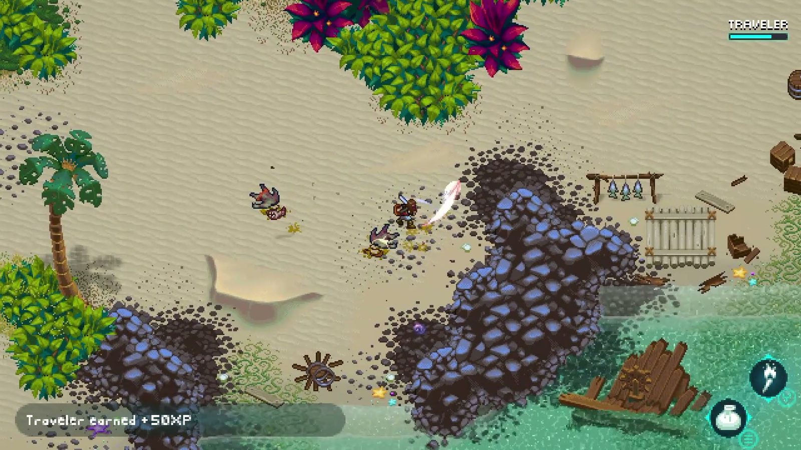 Official Steam screenshot
World of Anterra's map is handcrafted, and that word does a lot of work. The studio's own description lists the pieces: oceans, continents, regions, castles and towns, mountains, caves and dungeons. The Steam page adds the contents — thriving towns, wild animals and monster-filled dungeons — and the announcements add the places you can name, starting with the Mancian Wastelands.
What does not exist is an official map image. No publisher screenshot of a labelled world map has been released, so any "full map" you see for this game is either a fan reconstruction or an invention. This page describes the map by its documented parts instead.
The layers of the world
| Layer | What the official material says | What it means in play |
|---|---|---|
| Oceans | Named in the studio's world description | Sailing is a confirmed activity; water has its own rules |
| Continents and regions | Named alongside castles and towns | Travel is regional rather than one valley |
| Towns | Thriving towns where NPCs work, eat and socialise | Rest, shops and conversation hubs |
| Castles | Named in the itch.io world description | Landmarks and likely faction seats |
| Mountains and caves | Named in both the site and the store page | Vertical exploration, cave systems, secrets |
| Dungeons | Monster-filled dungeons on the store page | Combat content with loot behind breakables |
| Wastelands | Mancian Wastelands, named in the March 2026 post | Mining country; Boom Barrels in general use |
| Water bodies | Shallow and deep water, with bog and ocean types | Water-only resources and enemies; boats |
Only one region has a name in public: the Mancian Wastelands. Everything else is described by category, which is why this page has no map to label.
How the world is built, technically
Two official posts explain why a 2D map can behave like a 3D one.
The first is the Shadow Offset Map Editor, described in March 2026. It generates height maps: colour-coded images that tell the engine how far each pixel of a flat sprite sits from the ground. That is how tall grass can pass in front of a character's legs, and how a shadow can climb the side of a crate instead of stopping at its base.
The second is the water post from the same month, which explains depth-based transparency, refraction, caustics and weather reflections. Together they describe a world where terrain is authored rather than painted: a river is a rule about movement, a hill is a rule about sightlines.
If you want the water half in detail, read water, fishing and sailing. The combat page covers what terrain does in a fight.
Regions and factions
The store page names dangerous factions as one of the world's hazards, alongside unstable magic and tortured creatures, but it does not name them or map their territory. What it does say is that the story is non-linear and the paths diverge, which suggests the map is meant to be read differently by different players.
A practical consequence: expect region boundaries to be social as well as physical. A town that belongs to one group is a different place from a wilderness between groups, and the lore page covers what the studio has said about both.
Travel: feet, water and time
Three travel systems are documented. Walking is the baseline. Sailing is confirmed by the water post, which groups fishing and sailing as things water makes possible. And rest is a travel mechanic: taverns inside towns, camps in the wild, and a day-night cycle that the store page lists as a technical feature.
If you are planning a route, that combination matters more than distance. A camp lets you cross a night; a coast lets you sail past a mountain; a bog slows everything and hides what is under the surface.
Landmarks and the shape of a region
Castles are named once, in the studio's own world description, alongside towns and regions. That is a useful signal about scale: a world with castles has polities, and a world with regions has borders that mean something.
The store page backs that up from the other direction by naming dangerous factions as a hazard rather than as a plot device. Put together, the map reads as a set of inhabited territories with wild space between them, which is why exploration is described as free rather than gated.
Distance, night and weather
The store page lists day-night cycles and dynamic weather as technical features, and the water post shows how far that goes: rain ripples the surface, clouds reflect in it, moonlight appears at night.
On a handcrafted map, those systems do more than decorate. Night is when a camp matters, weather is when a road gets slower, and both make distance feel like time rather than like a number on a map screen. If you want the practical version of that, the crafting and camping guide covers rest and the water guide covers what weather does to water.
What a map page cannot do yet
Three things are missing from the public material, and this page will not fill them with guesses.
- No labelled world map. There is no official cartography to reproduce.
- No region list. The studio has named one wasteland and otherwise describes terrain types.
- No fast-travel rules. Nothing published says whether waypoints, boats or roads act as travel points.
When an official map appears — in a trailer, a press kit or a store update — this is the page that will carry it, with the source named.
How to explore a handcrafted map
The official descriptions imply a method that is different from checklist open worlds. If loot sits in containers and behind breakables, and if lore lives in books and conversations, then the useful habit is to finish a place before leaving it: read the room, talk to the people, test the furniture.
The beginner guide turns that into a first-session routine, and the progression and loot guide explains where the good things are hidden.
Next
- World lore and factions — who lives in these regions.
- Water, fishing and sailing — the travel layer the map depends on.
- Crafting, camping and building — how you make a camp in the wild.